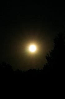
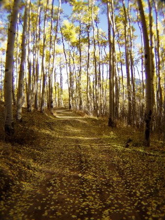
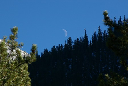
Here's another -- a time exposure
30 seconds at F32 with 200 ISO. 73 mm on my Tamron 28-300 lens. (Pentax *ist DL digital SLR)
Not stunning. But kinda neat.

Viva la manual settings!
 I decided to leave the new camera behind. It's about 2 lbs with the lens. But I needed to take a camera for a summit photo, and maybe a few others on the way up. So I took the old Olympus.
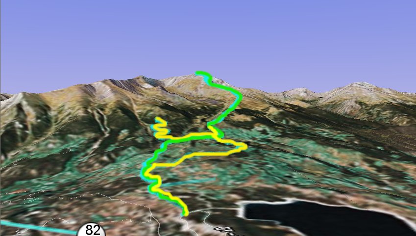 On the road below a couple had passed me in an SUV -- a 4WD which got them to the Lily Pond trailhead saving them 2 miles. I figured they were about 40 minutes ahead of me when I reached the bulletin board at the trailhead and saw it parked there.
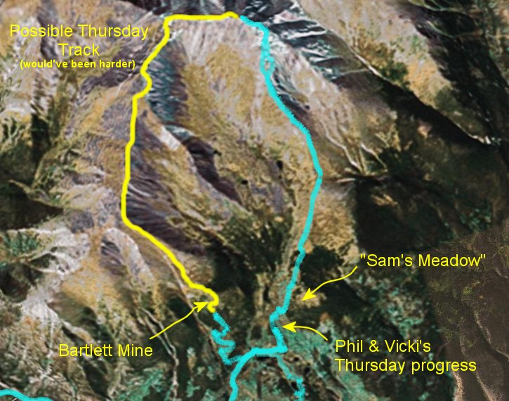
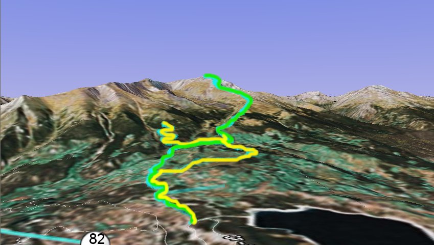
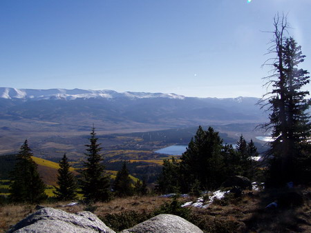 Within 40 minutes, I reached the wrong turn from the day before. An hour, and I was as far as we'd gotten the day before. About a half an hour later, I reached the meadow Sam had reached the day before. And within 10 more minutes, I could see the treeline.
 When I broke out of the trees at about 11,600 feet, the top still looked pretty far away. In fact, it was probably over two miles away, maybe two and a half or a little more. The climb was fairly relentless. The trail level rarely leveled out for long. I kept running across clumps of trees up to about 12,000 feet where they were stunted, as usual, and then ... tundra.
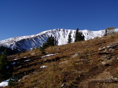
 I could now pick out the two people ahead of me on the ridge past the first horn at around 12,500 feet and I pulled out my small binoculars to verify. The were making slow and steady progress. As was I. Emphasis on slow. Between the steepness of the slope and the altitude, I was huffing quite a bit.
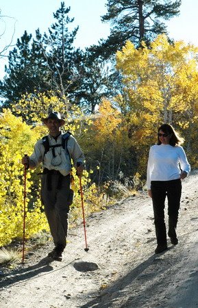
 I popped up over the first ridge and got my first look to the north at 12,400 feet, and a strong, cold wind greeted me. My hands got cold from the wind chill and gripping the poles -- which, by the way, I was really beginning to appreciate. My legs were tired. It's easy to make a misstep when you're tired. Twist an ankle on a wrong step. Lots of chances to make a mistake. The poles not only take some of the work away from your legs, but they also help you keep your balance when you start to lose it -- protecting your ankles. It'd be a long hike down with a sprained ankle.
 I did bring the John-e Hand Warmer along, so I got it out and filled it with butane. Got my wind-proof lighter out. Couldn't get it to ignite. Low oxygen up here? Butane too cold? Too much wind? I tried warming it up and protecting it from the wind. No flame.


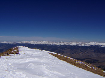 Through perseverence, the peak approached surprisingly quickly. There is a ridge about 6-10 feet wide at the top, maybe 30 feet long, and a pole with some names burned into it. When I hit that ridge, I got my first 360 degree view. It was so stunning, I didn't notice the wind at first.
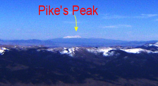
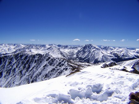 And then that wind finally got my attention. I put on my hat, my gloves, my coat, and my ear clips. I called Sam & Vicki. "I'm at the top", I said. They said "We can see you!"
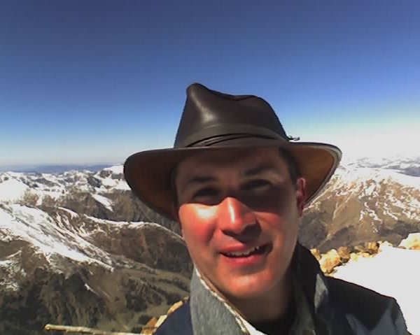 Is it my phone? I tried flashing the phone at them. No. And I didn't have a signaling mirror. I tried waving my camera -- and while doing that, it turned on. I was relieved. But they couldn't see the camera flashing in the sun, either.
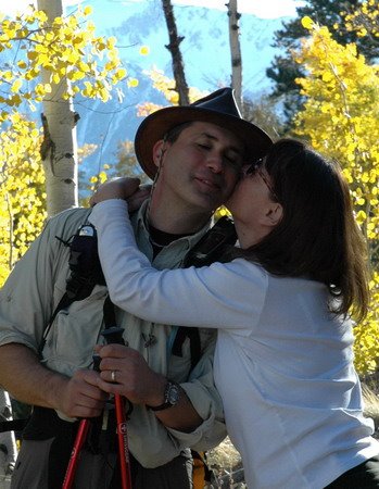 Vicki. She decided I'd be too tired to go out (actually, I kind of wanted to). I was exhausted, but in a good way. I knew I looked it as well. Plus having leftovers saved us a good $60 or $70 anyway.
We sailed from the port of indecision
Young and wild with oh so much to learn
Days turn into years as we tried to fool our fears
But to the port of indecision I returned
Jimmy Buffett - Lone Palm
 The plan was to get up around 6:00 am so we could be on the trail early. Since we didn't have a 4 wheel drive vehicle, an extra two miles each way was added to the climb. The total climb would be almost 6 miles. I had bought an Independence Pass topo map at the forest service office on Wednesday, and I could see the end of Twin Lakes at one edge.
 We came to a fork in the road, and there was no indication which way to go. The trail didn't appear to be on my GPS, so I looked at my map. I
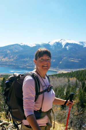 It was some of the steepest hiking I've ever done, but it was walkable. It appeared at this point to be another 4 wheel drive road. We wound up several switchbacks, through signs that said "Public Road through Private Property Ahead, Please stay on road" or something to that effect. I knew Lily Pond was on private property, so I figured that must be it.

 I was bummed. I'd lost my hat, we didn't make it to the top of Elbert. We hiked back down to the car, and I noticed I couldn't focus on anything with my camera. The focus ring had come loose on the lens. Strike three. Bummer of a day, I thought.... knowing that the sights I'd seen were fabulous and I shouldn't be thinking that way.
 When we got back to the cabin, I tried focusing the camera on various things to see if I could get the focus ring back on right. But no matter what I did, manual or automatic, it wouldn't focus on anything. Now that's just odd, I thought. At about that point, I started looking for other things, and I noticed there is an eyepiece focus adjustment on the camera. I put it in the middle, and tried focusing again. Bingo!

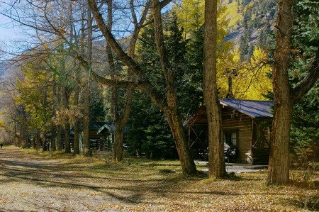
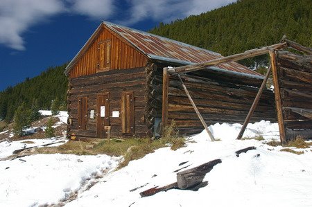
 cabins, but figured that couldn't be the "Ghost Town" we were looking for. A gate was closed, and it said "Private Property". So we pulled in to the trailhead parking to see if there was any Vicksburg information there. It had to be close, according to the map. There were a couple of guys, one from the Oklahoma University Health Sciences Center (and I think maybe his son?) camped out there, about to make a two day assault on three 14ers, including Missouri Mt., Mt. Belford, and Mt. Oxford. I was jealous ... and interally shamed at my failed attempt today on Elbert -- all in all probably an easier climb (though I guess I don't know that for sure, but that's what I thought!) Talked with them a while, and they said they had the same problem at Elbert before -- it was poorly marked. They went up the same peak we had started up (only they went all the way to the top of it at least) So I felt a little better.
 They encouraged me to try again, and I told them I was thinking about it but frankly I was beat from today's feeble attempt and I knew Vicki wasn't up for it. She encouraged me to try as well, though. A solo attempt. Hmmmmmm. Maybe. We went back to the place that said "Vicksburg Museum Parking" and a couple was emerging from the area -- that was indeed it, you just had to go back a ways to see the other cabins.
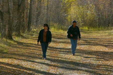
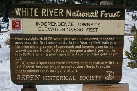 Wednesday morning -- no concrete plans. A cold front was to move through today, so we decided it wasn't a good day to climb Elbert -- could get windy, especially above the tree line, and today was the best chance of a freak storm up there. Sam was disappointed in his tungsten-blue pictures of the Maroon Bells from Monday, and I was thinking Ghost Town. Vicksburg sounded big -- and more touristy, and I was thinking Independence -- on the other side of the pass. Sam liked that idea, because if we were going that far we might as well go all the way to the Maroon Bells again on our 5 day pass. So that's what we did. Got a little later start but didn't stop to take many pictures over the pass this time. There was a bit of a traffic jam in Aspen -- we sat dead still for about 20 minutes. We ended up getting to the Maroon Bells about the same time as Monday.
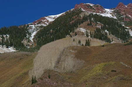
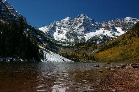 ladies came along and were taking shots of each other. I advised them to use the fill flash so they could see their faces and I showed them how to do it on their camera -- and offered to take a picture of them together. Worked out fine.
 We'd forgotten lunch, but Sam and Vicki had protein bars from the day before and Sam still had a bag of trail mix, so we made do.
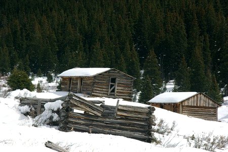 what a view! Guess it was just to cold & snowy and remote to remain a town.
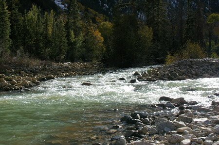 braided channels. We sat and watched the sunset, talked, had a few brewskies, threw rocks in the river.... just hung out -- which is something I never do enough of out in the mountains. I'm always trying to squeeze one more thing in. It was 3 hours well spent.
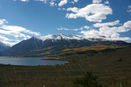
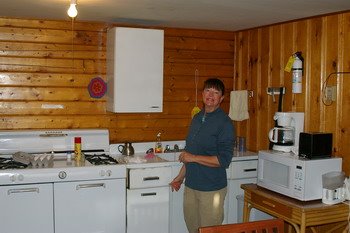 Tuesday we decided to try something a little closer to home -- a hike up around Lake Creek, the one that dumps into Twin Lakes up by Twin Lakes. We went in to Granite first for gas and some sunscreen. We got burned from the wind and sun at Maroon Bells the day before, and the snow didn't help. The store
 owner was a bit grumpy -- Vicki tried to engage him in conversation. Maybe it was a bit early in the morning. We got our gas & sunscreen and left. Stopped at the Twin Lakes store and met a lovely mountain girl (woman -- she was a grandmother) tending the store. She gave us all kinds of advice -- from climbing Elbert, when to start, who died and why, etc. She had a nice dog named Cassidy as well. We asked her about the Willis Gulch trailhead, and she said it was about a mile and a half down the road.
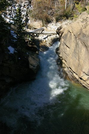 The place across the street advertised "The Best Coffee in Colorado" -- and Sam went over to fill his cup -- but they were out and apparently the Coffee Man was out doing chores. Too late in the morning, I guess. We drove down to the trailhead and tried to guess which trail was which. We ended up in a campsite next to 82 -- pretty trees, and a small gorge with water raging through it. But it wasn't the Willis Gulch trail. We headed back, and passed something that looked sort of like a trailhead, but it didn't say which trail. It was a rusted metal sign with stenciled letters cut out of it.

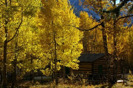
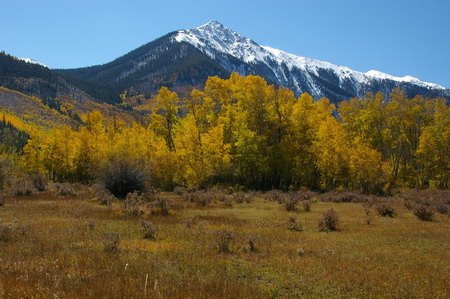
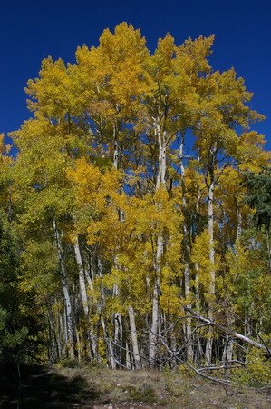 the meantime. Suddenly I heard Vicki say "Oh my Good Lord in Heaven, Phil!" -- which I took to mean "Wow!" Which was the correct interpretation. Because the next 1/4 mile of trail had some of the best aspen scenery we'd see all week. There was a grove of tall, bright yellow ones against the clear blue sky. Got several shots of that, and we hiked on through an incredibly large grove of aspens dropping leaves like gold flakes onto the trail, carpeting it like something out of Rivendell in Lord of the Rings. A few symetrical spruce and some colored underbrush punctuated the forest, and we were literally in awe.

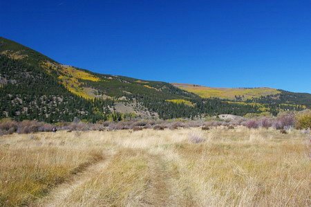 We hiked out of the woods to a field at the edge of the marsh. It was obviously a fairly often used ATV trail at this point, and dried grasses stretched between the woods, another large aspen grove, and willow shrubs in the marsh stretching to the lake off to the east. After hiking through some willows, we came upon Lake Creek -- a braided stream through gravel bars at this point on the homestretch to the lake. We looked for a place to cross.
 I sensed Sam and Vicki were skeptical, so I just took off my shoes, rolled up my pants, and proceeded across with my hiking poles for balance and bracing against the current. I was across pretty quickly, and my Bass Pro Teflon pants, though they unrolled a bit into the water, did their thing and didn't get soaked. They would dry quickly.
 Unfortunately, the trail had sort of vanished. We continued on what was probably a deer trail. We could see the town of Twin Lakes and the road, it wasn't like we were going to get lost. We made a bee line for the road.
 This wasn't a big office like the one in Idaho Springs, but I did end up talking to the young lady behind the counter. The forecast was now for a cold front to come through tomorrow (it was 70 degrees that day in Leadville) -- with a few clouds and little chance of precipitation. Thursday and Friday looked sunny.